Show the code
list.files("./shapefiles/a2trees")[1] "AA_Trees.cpg" "AA_Trees.dbf" "AA_Trees.prj" "AA_Trees.sbn"
[5] "AA_Trees.sbx" "AA_Trees.shp" "AA_Trees.shp.xml" "AA_Trees.shx" Shapefiles are a spatial data format originally developed by ESRI.
Shapefiles come in three major types:
Shapefiles are actually a set or collection of associated files, all with the same name, and all in the same directory, but different suffixes.
R–and many other software programs–generally reference the *.shp file of the shapefile.
list.files("./shapefiles/a2trees")[1] "AA_Trees.cpg" "AA_Trees.dbf" "AA_Trees.prj" "AA_Trees.sbn"
[5] "AA_Trees.sbx" "AA_Trees.shp" "AA_Trees.shp.xml" "AA_Trees.shx" library(ggplot2) # beautiful graphs
library(sf) # simple (spatial) featurescity_boundary <- read_sf("./shapefiles/AA_City_Boundary/AA_City_Boundary.shp")
buildings <- read_sf("./shapefiles/AA_Building_Footprints/AA_Building_Footprints.shp")
# trees <- read_sf("./shapefiles/a2trees/AA_Trees.shp")
# parks <- read_sf("./shapefiles/AA_Parks/AA_Parks.shp")
# university <- read_sf("./shapefiles/AA_University/AA_University.shp")
clients <- read_sf("./shapefiles/clients/clients.shp")
WashtenawRoads <- read_sf("./shapefiles/Roads/RoadCenterlines.shp")
AnnArborRoads <- st_crop(WashtenawRoads,
city_boundary) # crop to only get A2 roads
# watersheds <- read_sf("./shapefiles/watersheds/Watersheds.shp")ggplot to Map the Shapefilesggplot(city_boundary) + # initial sf data
# geom_sf(data = buildings,
# fill = "lightgrey") +
geom_sf(data = AnnArborRoads, # first layer: Ann Arbor roads
color = "lightgrey") +
geom_sf(color = "red", # second layer: city boundary
alpha = .5) +
geom_sf(data = clients, # third layer: clients
size = 1,
color = "purple") +
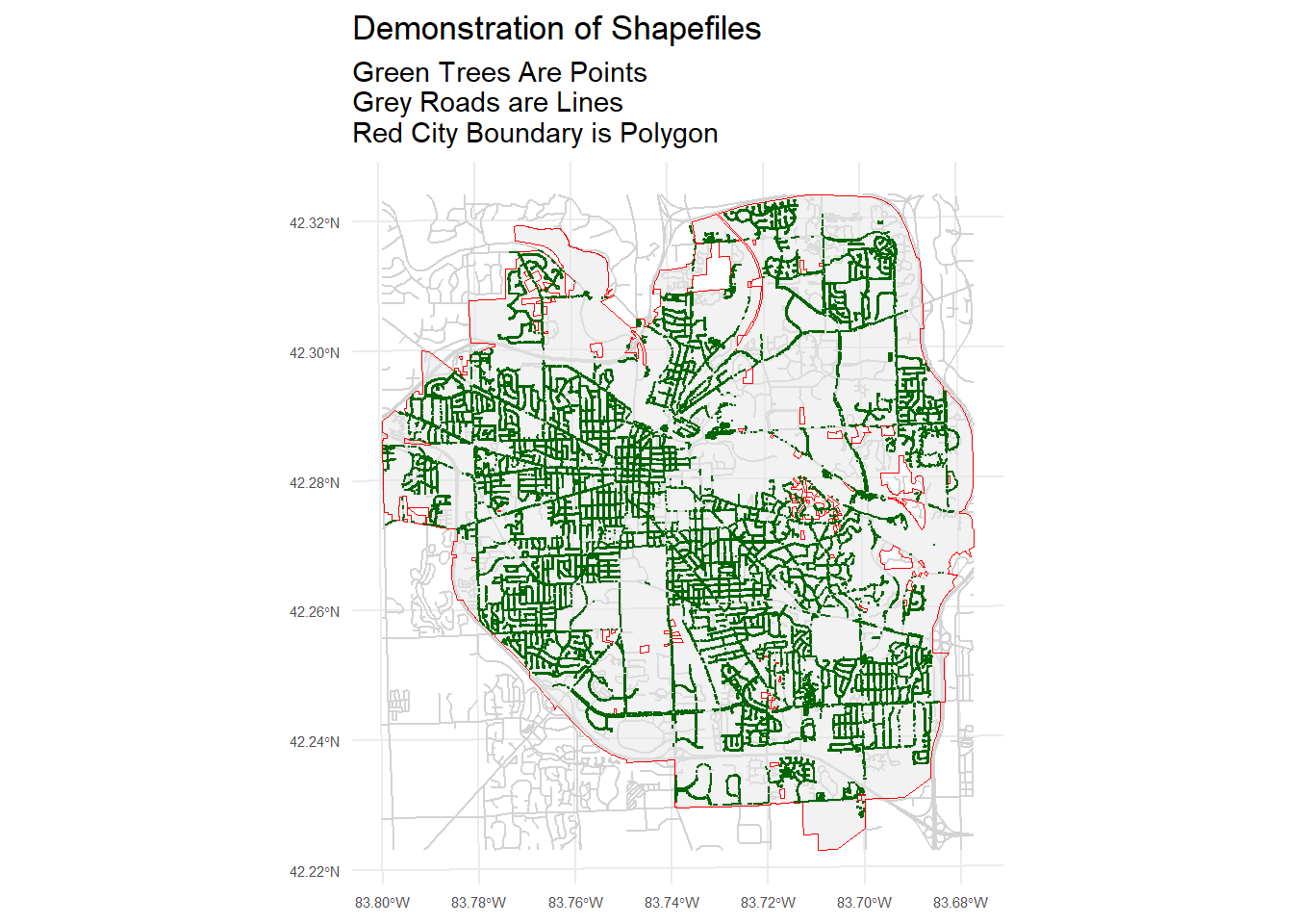
labs(title = "Demonstration of Shapefiles",
subtitle = "Purple Clients Are Points \nGrey Roads are Lines \nRed City Boundary is Polygon") +
theme_minimal() +
theme(axis.text = element_text(size = rel(.5)))